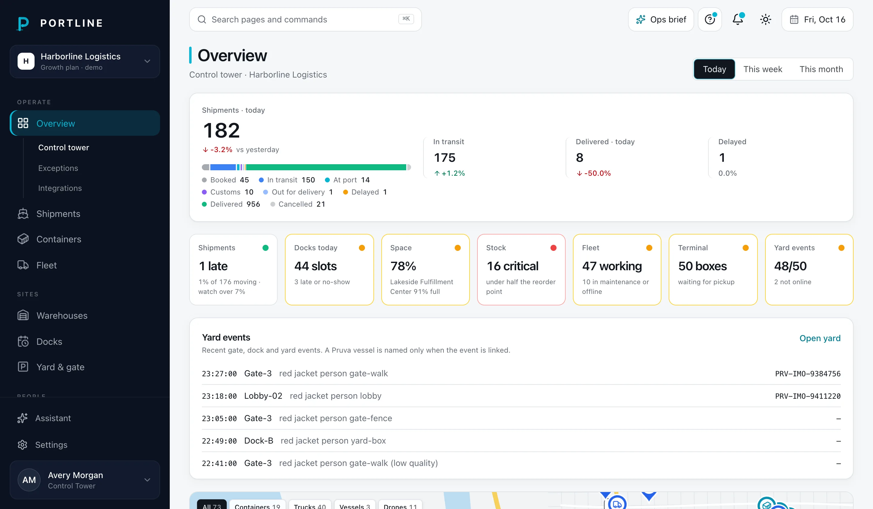
Map pins for containers, trucks, vessels and drones, fleet counts, throughput per day and recent shipments.
Exceptions
Late shipments, reefers out of range, missing documents near arrival, low stock and trucks late for their dock slot.
Integrations
The feeds behind the map and the exceptions list, and the status of each.
Connectors
What Overview connects to.
Every connector is a mock in this build: statuses are generated and no request leaves Portline. Owners and admins connect them from the area’s Integrations page.
MT
MarineTraffic
Vessel positions
AIS positions for the vessels carrying your containers.
OpenStreetMap
Maps
Coastlines and port locations under the live map.
Sl
Slack
Alerts
Exceptions posted to an ops channel.
p44
project44
Ocean visibility
Carrier milestones for every container on the water.